UN
133c Dartford Road
£ 140,000
Description
We don't have a Description for this property.
- Bedrooms
- 2
- Bathrooms
- 0
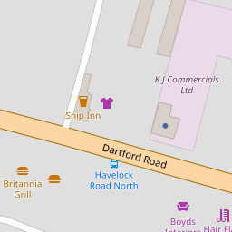
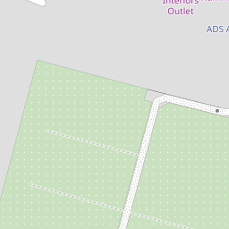

Leaflet © OpenStreetMap contributors
The heatmap indicates the level of crime in the area. The color of the heatmap indicates the crime severity and recency.
Metrics Year-on-Year
- Average area value
- 522,333.00 £Decreased by 15.71 %
- Average area rental value
- 2,481.00 £/moDecreased by 21.34 %
- Est rental Yield
- 5.70 %Decreased by 6.71 %
- Crime Rate
- 9.00 %Unchanged by 0.00 %
from 619,682.00 £
from 3,154.00 £/mo
from 6.11 %
from 9.00 %
Nearby Schools
| Name | Type | Ofsted | Distance |
|---|---|---|---|
| West Hill Primary Academy | Academy Converter | Good | 0.46 KM |
| Dartford Grammar School For Girls | Academy Converter | Outstanding | 0.77 KM |
| Dartford Science & Technology College | Foundation School | Good | 0.84 KM |
| Dartford Grammar School | Academy Converter | 0.84 KM | |
| Holy Trinity Church Of England Primary School, Dartford | Voluntary Aided School | Good | 1.07 KM |
Images
Nearby Streets
| Name | Average Price | Average Sqft | Distance |
|---|---|---|---|
| Western Terrace | £ 550,000 | 0 | 0.00 KM |
| Sullivan Close | £ 0 | 0 | 0.00 KM |
| Maiden Lane | £ 325,000 | 0 | 0.00 KM |
| Dartford Road | £ 0 | 0 | 0.00 KM |
| Laurel Close | £ 0 | 0 | 0.00 KM |
Nearby Transport
| Name | NLC | TLC | Distance |
|---|---|---|---|
| Crayford | 5100 | CRY | 2.13 KM |
| Dartford | 5101 | DFD | 2.33 KM |
| Slade Green | 5154 | SGR | 2.44 KM |
| Erith | 5104 | ERH | 4.61 KM |
| Barnehurst | 5089 | BNH | 4.69 KM |
Nearby Listings
| Address | Price | Type | Score | Distance |
|---|---|---|---|---|
| Dartford Road, Dartford | £ 495,000 | BUY | Unknown | 0.10 KM |
| Havelock Road, Dartford | £ 475,000 | BUY | Unknown | 0.18 KM |
| Dartford Road, West Dartford, Kent, DA1 | £ 325,000 | BUY | 6 / 10 | 0.18 KM |
| Swaisland Road, West Dartford, Kent | £ 400,000 | BUY | 7 / 10 | 0.20 KM |
| Devonshire Avenue, Dartford, Kent, DA1 | £ 600,000 | BUY | 7 / 10 | 0.23 KM |
Nearby Properties
| Address | Price | Distance |
|---|---|---|
| 133c Dartford Road | £ 140,000 | 0.00 KM |
| 133a Dartford Road | £ 148,000 | 0.00 KM |
| 102 Dartford Road | £ 110,000 | 0.13 KM |
| 62 Dartford Road | £ 273,000 | 0.13 KM |
| 56 Dartford Road | £ 230,000 | 0.13 KM |